Trimble® eCognition® Suite is an advanced analysis software available for geospatial applications. It is designed to improve, accelerate and automate the interpretation of a variety of geospatial data and enables users to design feature extraction or change detection solutions to transform geospatial data into geo-information.
eCognition imports a variety of geospatial data, fusing them together into a rich stack of geo-data for the analysis. The analysis logic is structured into series of steps to create a computer-based representation of an expert’s geospatial interpretation process a so called Rule Set. eCognition then combines the analysis logic with scalable computing power to identify changes over time or features on the earth’s surface across very large sets of data.
eCognition Suite version 9.5 is a major release and includes a range of new features and bug fixes. We recommend upgrading to this new version to benefit from the new features and improvements. For an overview of the highlights please refer to the chapter Overview. A complete list of new features and bug fixes can be found in chapter New Features - Bug Fixes and Limitations.
Building Analysis Solutions
The eCognition technology examines image pixels not in isolation, but in context. It builds up a picture iteratively, recognizing groups of pixels as objects. Just like the human mind, it uses color, shape, texture, shape and size of objects, as well as their context and relationships, to draw the same conclusions that an experienced analyst would draw.
To build an analysis solution, it is possible to flexibly combine the image interpretation steps like object creation (segmentation), object classification (knowledge based, fuzzy logic, machine learning), object detection (template matching) and object modification (fusing, smoothing, orthogonalization, simplification) into a Rule Set or even a new application (Rule Set with UI) to solve the analysis problem.
The result is a unique approach to translate mind models (why a human interpreter can see the objects, changes, or features in the geospatial data) into computer understandable code (Rule Set) or an individual/customized application.
Leveraging Data Synergies
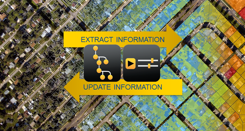
eCognition can fuse a variety of geospatial data, such as spectral image data, 3D structure data from point clouds and spatial/thematic data from GIS vectors.
The proximity of eCognition to GIS, its ability to link and fuse the available data in an analysis - combined with the straightforward export of results to GIS layers - help eCognition users to achieve outstanding results.

Efficient Workflows
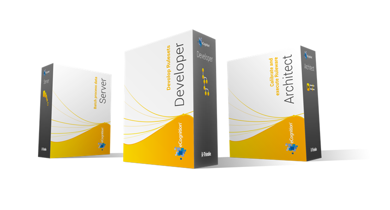
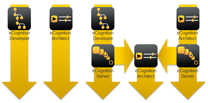
The eCognition Suite offers three different components which can be used stand-alone or in combination to solve even the most challenging fully automated and semi-automated production tasks:
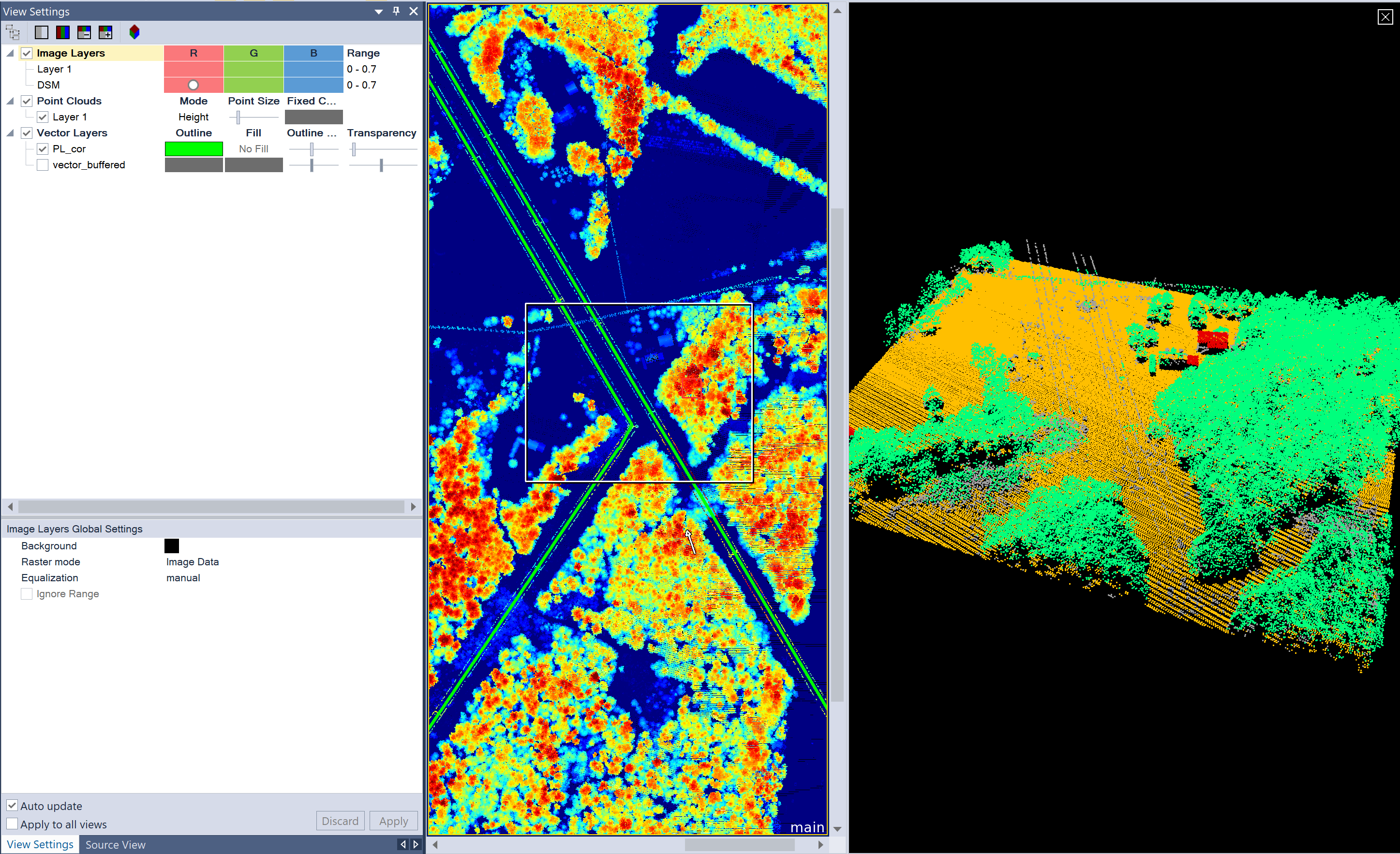
eCognition Suite 9.4 includes a number of user interface improvements that are designed to make general software use easier and rule set development quicker by making tools more efficient. User can now utilize the View Setting and Source View windows to quickly populate and configure projects with eCognition Developer. The View Setting window and tools puts data visualization in a single, easy to access, location to better support data fusion for projects that combine image, vector and point cloud data. The Source View window provides users a simple data management area to modify input layer alias, display orders and access information on file details.
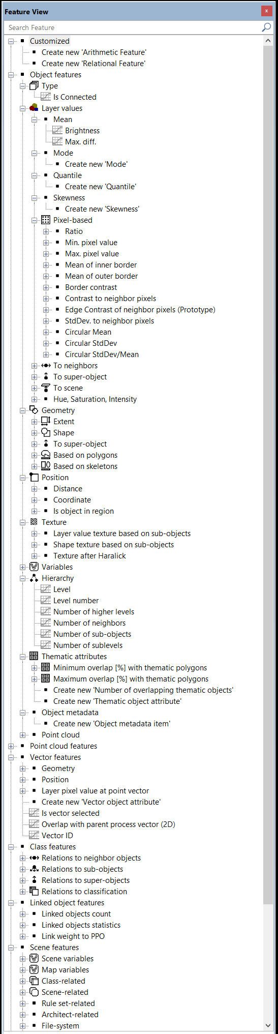
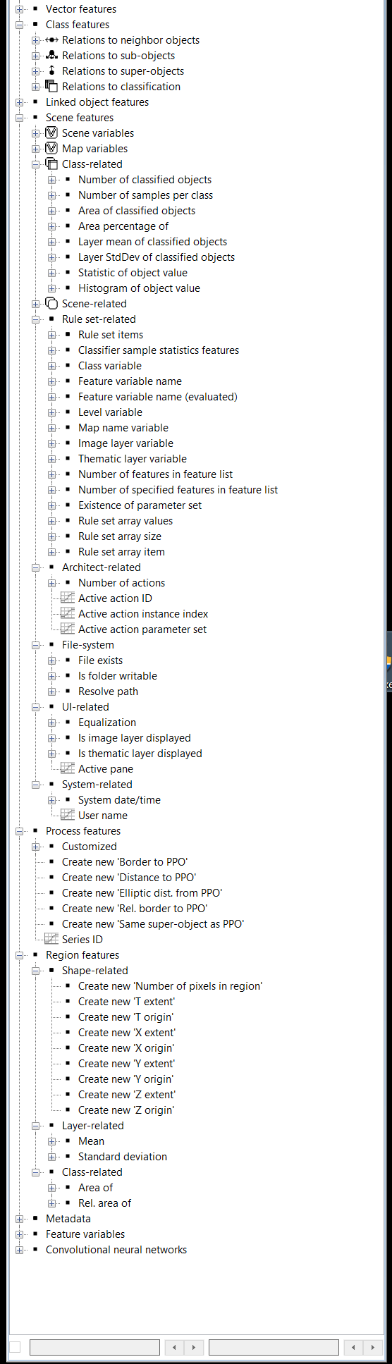
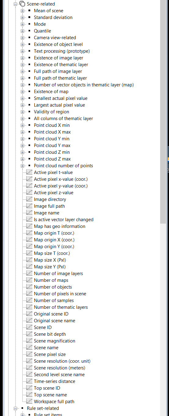
In addition, users can now efficiently search the wide array of features available within the Feature View to quickly locate the feature needed for their project.
Furthermore, an HTML-based Help has been implemented for to fully support cross-document searches and the latest support material.
Version 9.4 includes a series of new algorithms that make rule set development easier for new and experienced users alike. These out-of-the-box algorithms and the creation of image objects from vector layers through a simple vector based segmentation.
A new segmentation algorithm is also available for the generation of homogeneous image objects based on the standard deviation of a raster layer.
The functionality of the 3D point cloud view has been extended to support 3D vector data. Now, point clouds and 3D vector layers can be viewed together to provide a full spatial understanding of point cloud features.

Reorganization of features in Feature View dialog
© 2019, Trimble Inc. All rights reserved. 